
Trace a Portage Street Address
A useful Portage street directory search separates current parcel facts from household history. Start with the Portage street number and the City of Portage property or map record. That establishes the Portage parcel and current recorded owner. Then use the county street search and deed index to test spelling, parcel number, and transfer history. For an older Portage occupant, shift to a street-order or criss-cross directory at the library. Each source has a different job, so agreement between two sources is more meaningful than a single search result.
- Check the Kalamazoo County Street Name Directory for the road spelling, municipality, range, and postal context before entering an address elsewhere.
- Open Portage property data or FetchGIS with the address. Save the parcel identifier and distinguish the physical location from any tax correspondence address.
- Use the county parcel search by street. A street-only search can return properties containing that street name, while a number-only search can help when the spelling is uncertain.
- Move from the current owner name to the Register of Deeds index. Search the owner as a grantee, then follow the prior grantor back one recorded transfer at a time.
- For past households, compare the nearest Kalamazoo directory, telephone book, or criss-cross volume with the earlier street number and name.
Note: A tax mailing address, deed mailing address, or property owner is not by itself proof that a person currently lives at the Portage address.
Portage GIS Along the Street
Portage GIS and City Maps leads to FetchGIS, the map-centered route for an address, owner, plat, intersection, or parcel number. Clicking a parcel supplies ownership detail and approximate boundaries. The viewer also has distance, area, coordinate, selection, and buffer tools. Its aerial imagery reaches from 1939 to the present, while overlays add zoning, school district, voter precinct, wetlands, floodplain, topography, and current-development context. A map line is an aid to research, not a legal survey boundary.
| Portage GIS field | How it helps a street search |
|---|---|
| Owner | Finds a parcel from a recorded owner name. |
| Address | Locates the physical street address on the map. |
| Plat | Connects an address to a recorded subdivision or plat reference. |
| Intersection | Provides a starting point when an exact number is unknown. |
| Parcel number | Cross-checks a parcel against city and county property records. |
The Portage GIS and City Maps page documents the public viewer and its layers.
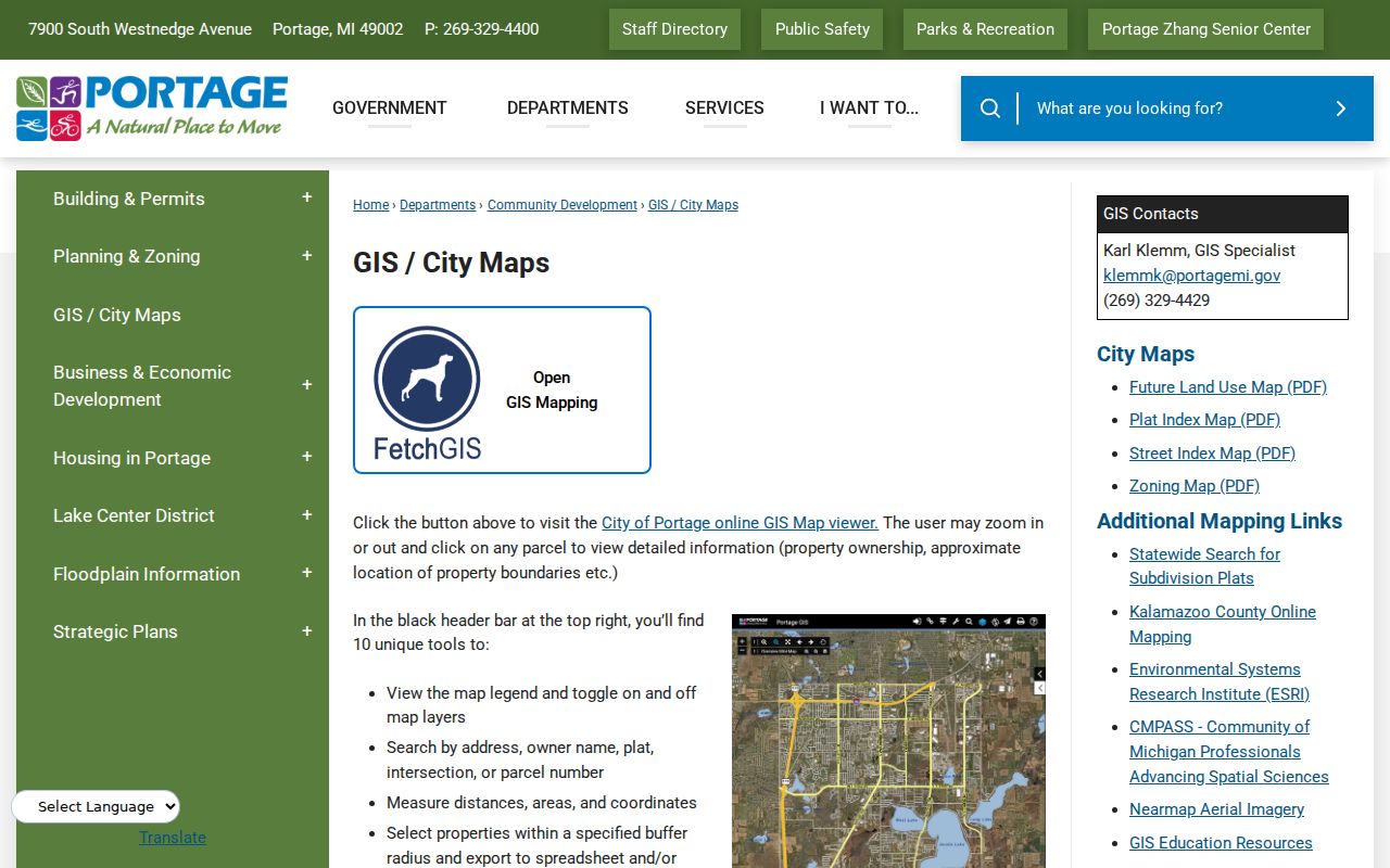
The Portage map route is most useful for placing an address among visible parcels and civic layers before treating any ownership record as a Portage street-level conclusion.
Portage Permits by Address
Portage Building Permits describes an address-default BS&A search. The documented result path can connect Property Information, Tax Information, Building Department, Utility Billing, and Invoices. Building history may show permit issue dates, inspection dates, and detail for work at the parcel. That is valuable context for a house history or a change in the built site, but it does not establish a complete occupancy list.
Portage says its property and tax lookup is updated daily, while also warning that accuracy is not guaranteed. Supporting documentation can require a Portage city records request. Portage Community Development handles the permit route at 269-329-4466, and the City Clerk is the fallback for city-held records that are not exposed in the portal.
The Portage Building Permits page shows the address-led route into the city system.
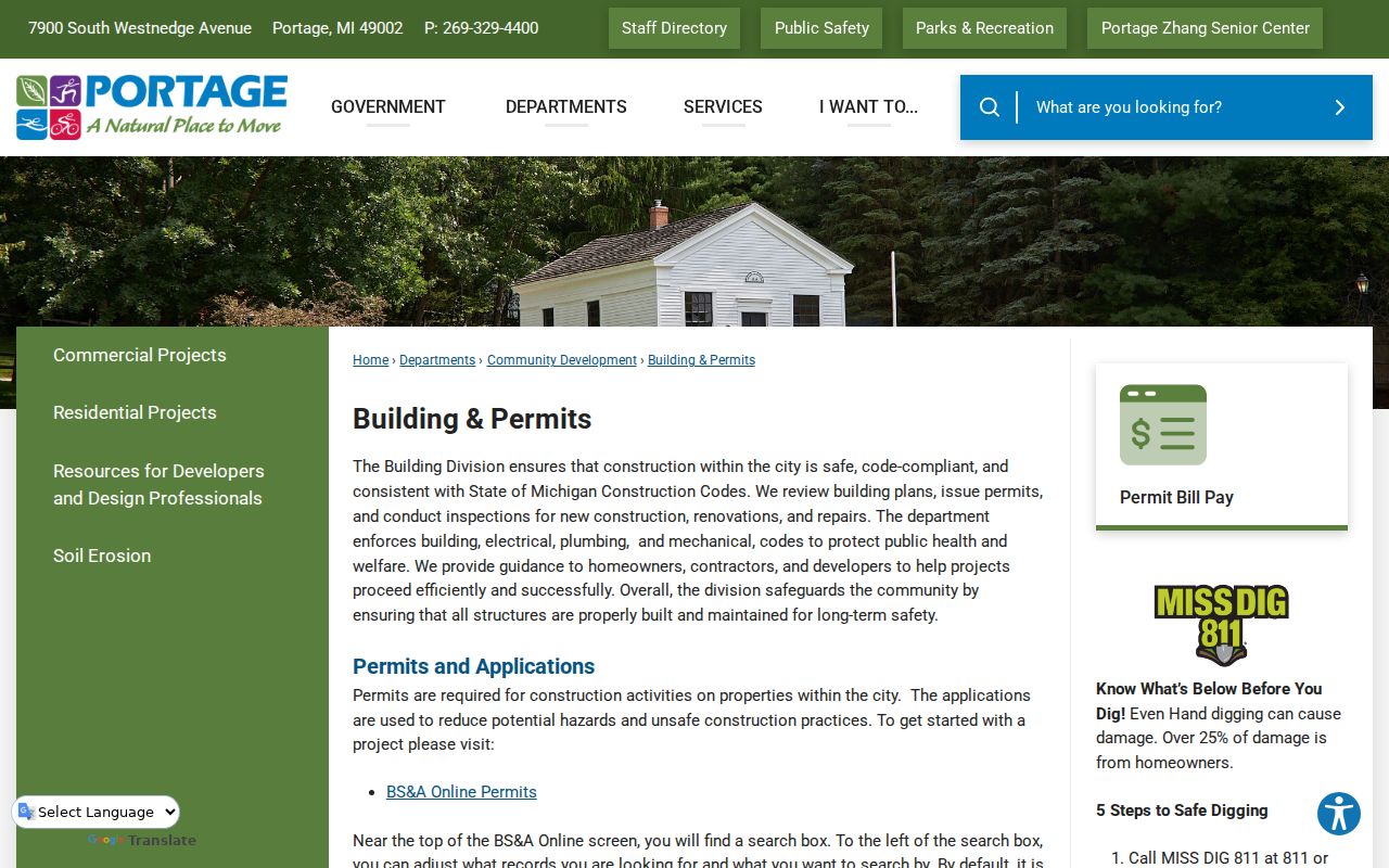
The documented tabs make permits a way to compare parcel activity and dates, rather than a source for naming every person connected with an address.
Portage Street Directory Records
Address-keyed sources answer different parts of a Portage street directory question. Portage city records help with the present parcel. Kalamazoo County systems add wider Portage parcel and land-record context. Michigan voter information is designed for an individual lookup rather than a browseable block roster. The historical layer sits at the library, where street order and criss-cross volumes can connect a Portage address to a period household. Treat the following as evidence types, not interchangeable lists of residents.
| Address record | Portage or county keeper | Street-level value | Access route |
|---|---|---|---|
| Property and tax data | City of Portage | Current owner, parcel, land, building, sale, and tax context | BS&A property lookup; some support records by FOIA |
| Parcel map | Portage GIS | Approximate parcel placement, owner detail, plats, and civic layers | FetchGIS viewer and city map page |
| County parcel search | Kalamazoo County Equalization | Owner, parcel ID, or street matches | Online tabs, Room 404, or staff contact |
| Land instruments | Kalamazoo County Register of Deeds | Deeds, liens, plats, mortgages, releases, and transfer trail | WebTecs, Tapestry, Laredo, counter, or staff search |
| Historical street order | Kalamazoo Public Library | Past address and household clues | City directories, telephone books, criss-cross volumes, and microfilm |
For individual voter information, Michigan Voter Information Center asks for first name, last name, birth month, and birth year. State registration records have separate public-file and privacy rules. The map’s precinct layer is geography, not a public street directory of voters.
Portage Street Record Terms
Four terms prevent a Portage address search from taking a wrong turn. They matter most when a parcel owner has a different correspondence address or when a historical volume uses a subdivision reference instead of the current street description.
- Parcel
- A defined piece of land used by local property systems. A parcel number is a cross-check, not a resident identifier.
- Situs address
- The physical location of the parcel. It can differ from the mailing address used for taxes or deed correspondence.
- Plat
- A recorded map that lays out lots, streets, or a subdivision. Portage GIS can search by plat.
- Criss-cross directory
- A directory arranged by address or telephone order, useful when a name search misses a spelling variant.
Portage’s online description did not expose every live BS&A field label. Keep a note of the displayed Portage parcel data and date rather than assuming that a familiar label means the same thing in every system.
Kalamazoo Street Searches for Portage
Kalamazoo County Parcel Search offers Owner, Parcel ID, and Street tabs. The owner field accepts any portion in LastName FirstName MiddleInitial form, with the county giving SMITH J as an example. Parcel numbers may be entered with hyphens, spaces, or no separators. Its Street tab accepts a portion of StreetNumber StreetName. A street-only search returns properties containing that road, and a number-only search can be useful when a road name has been entered differently.
The county seat is Kalamazoo, not Portage. Equalization is in Room 404 at 201 W. Kalamazoo Avenue, with 269-383-8960 listed for contact. Staff availability can require an appointment. That counter route matters when a Portage online street search produces a short or unclear result.
Note: County street matches identify parcels, so compare them with the Portage GIS location and the city property record before drawing a conclusion.
Portage Deeds Need a Name
The Kalamazoo County Document Searches page recommends beginning a deed search with an owner, grantor, or grantee name. An address is not required and may be incomplete in the index. Available search modes include Name, Date Range, Liber/Page, Document Number, and Parcel Number. Once a recent instrument is found, its prior party, document number, or liber and page can guide the next search backward.
County land images reach back to 1831, with index coverage complete through 1984 and more indexing in progress. The 2024 digitization effort scanned more than 1.5 million documents and index books, but older images can still need staff guidance. For pre-1985 work, the county directs researchers to Room 102, deeds@kalcounty.com, or 269-383-8970. A scanned document is not the same as an easy owner-name search.
The county Document Searches page lists the WebTecs, Tapestry, Laredo, counter, and staff-search options.
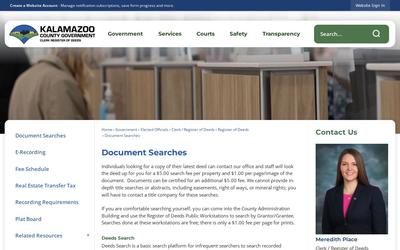
WebTecs supplies a free basic index route, while Tapestry is a one-time paid search, Laredo uses a subscription, and the county offers a staff lookup for a stated fee. Image, print, and certification charges are separate. For a Portage deed question, the Register of Deeds does not perform title searches or give legal advice.
Portage Street Numbers Through 1925
Older Portage-area research has an address translation problem. Kalamazoo Public Library reports that no 1925 directory exists because the city made a citywide numbering change that year. Compare 1924 and 1926 entries instead, then use the 1932 Sanborn map when the old and new house numbers need to be reconciled. Street-order listings begin in 1897, although their placement moves from the front of older books to the back of some 1920s volumes.
Street names can also shift. KPL notes, for example, Cork as St. James, Michigan Avenue as Main, Oakland as Asylum, Riverview as Seminary, and Westnedge as West Street in portions of the older system. The Kalamazoo Public Library city-directory collection is the right shelf for working those variants, while the fuller historical collection belongs on the Portage Directory Book page.
Portage Streets Cross Boundaries
Portage records do not always share one boundary line. The city charter embraces the organized Portage Township boundary as it stood in 1963, plus later annexations and detachments. A historic record can therefore use Portage Township, the City of Portage, or a nearby Kalamazoo label. County street listings help normalize that government label before a parcel search.
Postal geography adds another distinction. Portage ZIP codes are delivery areas, not Portage city limits, and the research did not locate a complete street-by-street delivery boundary. The USPS address tool can check a deliverable address, but it does not confirm that a person receives mail there. Use the ZIP as a location check, not an occupancy claim.
Note: Portage map boundaries are approximate and postal labels can change, so preserve the date and source beside any address history note.
When a Portage Street Vanishes
A thin Portage online result is a reason to change channels, not proof that the Portage address has no history. For city-held material, Portage FOIA Records Requests is the documented route for sufficiently described records; historical property cards may require that request. Michigan FOIA generally allows five business days for a response, with one permitted ten-business-day extension. The request must identify records with enough detail and can be denied for exempt, nonexistent, or deleted material.
For Portage county land records, use the public workstation, Room 102 guidance, or the Register of Deeds staff service. For older Portage occupancy, use KPL city directories, local-history clippings, deed microfilm, Sanborn maps, and the Portage District Library Heritage Room. Some Heritage Room materials are room-use-only, and rare or fragile originals are subject to Local Historian review. These are documented access channels when a portal does not supply a clean street match.
Portage Street Directory Limits
A street directory can show public parcel, land, or historical-directory evidence. It cannot supply a complete, current list of everyone at a street address. Owners and occupants are different categories. Utility customer data, full voter details, protected court files, and restricted vital records have their own limits. Michigan voter files withhold phone numbers, driver-license or state-ID numbers, and month and day of birth from public records. A Portage GIS voter-precinct layer describes an area, not the people who vote there.
Lawful use. Use Portage street records for personal, civic, family-history, property-history, or estate questions. Do not assemble a block roster or use public records to stalk, harass, intimidate, or harm anyone.
The Michigan Address Confidentiality Program can also explain why an ordinary address search does not reveal a physical location. Its substitute-address protections should never be reverse-engineered.