
Find Portage Neighbors by Block
Public Portage neighbor research works best as a short block check, not a people list. The Portage city parcel viewer supplies the map and recorded ownership context. Portage city property records add current parcel, tax, land, building, sale, and zoning details. Kalamazoo County records can corroborate the Portage parcel or land filing. Historical directories can place an earlier household at a Portage address. Each record proves something different, and an owner name does not establish that the owner currently occupies the property.
| Public source | What it can show about a Portage block | Access route |
|---|---|---|
| Portage FetchGIS | Approximate parcels, address, recorded ownership detail, and civic overlays around the starting point | City map page and public viewer |
| Portage property and tax lookup | Current property, land, building, tax, sale, and zoning context for a selected parcel | BS&A route; some support records need FOIA |
| Kalamazoo County parcel search | Street, parcel-ID, and owner search paths across county parcel records | Online tabs, Equalization office, or staff contact |
| Register of Deeds | Recorded transfer and land-instrument trail for an owner name or parcel cross-check | WebTecs, counter, paid options, or staff search |
| Library directories | Earlier street-order, telephone, or criss-cross household clues | Kalamazoo Public Library and local-history collections |
Portage neighbors may be owners, occupants, former occupants, or simply people who share a Portage civic area. A Portage map and property roll usually identify the first category. They do not prove the rest.
Map a Portage Neighbor Block
Use the Portage parcel view as a simple chain of evidence. Portage FetchGIS accepts an address, owner, plat, intersection, or parcel number. From the selected Portage parcel, click nearby parcels and preserve only the parcel identifiers, public ownership entries, and map date needed for a legitimate property or civic question. A buffer can group nearby parcels, but the city did not publish the exact exported field inventory, so an export should be checked before relying on it.
- Search the starting Portage address in FetchGIS and confirm the map pin and parcel before examining surrounding lots.
- Select adjacent parcels individually. Read the ownership detail alongside the approximate boundary and do not treat the boundary as a survey.
- Check the same parcel through the city property route or the county parcel search when an owner name, street spelling, or parcel identifier needs confirmation.
- Use the county deeds index by name when a recorded transfer needs context. For a full named-street trail, use the Portage Street Directory route rather than expanding a block search into a resident roster.
Note: A radius is a map-selection tool, not a definition of a neighborhood or proof that everyone within it is connected.
Portage Neighbor Layers in GIS
Portage GIS and City Maps provides useful context after the parcel search. The city lists historic aerial imagery from 1939 forward, plus voter precinct, school district, zoning, future land use, current developments, floodplain, wetlands, water bodies, soils, topography, and elevation layers. Those layers explain why two Portage parcels share a setting or why the built landscape looks different across a street. They do not disclose a private profile about the people on the block.
Portage FetchGIS can measure distance or area and select Portage properties inside a chosen buffer. It can also export a spreadsheet or mailing labels, although the documented materials did not identify the exact output columns. Use the viewer to understand visible parcel relationships and public geography, then rely on the listed custodian when a record must be verified.
Portage Neighbor Parcel Context
The Kalamazoo County Parcel Viewer provides a county route for nearby-parcel and boundary context. Its companion parcel search accepts Owner, Parcel ID, and Street queries. The Street tab accepts a portion of StreetNumber StreetName. A street-only entry can return all properties containing the road name, and a number-only entry can help when the road name is uncertain. County results should be compared with the Portage map because the block may be described under a city, township, or historic label.
The county Parcel Viewer page is the documented entry to that Portage-area county mapping channel.
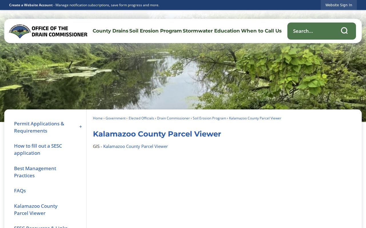
County parcel context is a useful Portage cross-check when a Portage neighbor question reaches an edge of the city or a road with more than one municipal reference.
Portage Neighbors Across Lines
Portage street spellings and government lines can shift the result set. The Kalamazoo County Street Name Directory supplies municipality, street-range, and ZIP examples that help normalize a Portage road before searching. Portage’s charter boundary includes the organized Portage Township footprint as it existed in 1963, plus later annexations and detachments. Older records may therefore use Portage Township, the City of Portage, or a nearby Kalamazoo label for a location associated with the same present-day block.
Postal boundaries add a separate layer. ZIP codes describe mail delivery and do not draw a neighborhood or city boundary. The research supports 49002 and 49024 as ordinary Portage delivery ZIPs, but it did not locate a complete street-by-street boundary table. A USPS result can confirm delivery formatting, not who receives mail at the address.
Portage Neighbor Civic Groups
Public Portage neighborhood evidence is organizational, not a membership roster. The city’s Adopt-A-Park materials identify groups connected with public places. They show that people organize around locations and civic work, but they do not publish complete household lists, contacts, or HOA membership. The city research did not find an official complete Portage HOA roster. Treat group names as a way to understand public community presence, not as a shortcut to identifying every Portage neighbor.
Lexington-Green Neighborhood Watch
Named by the City of Portage as an Adopt-A-Park group, providing public neighborhood-watch evidence rather than a resident list.
Whisper Rock Residents
Named by the city’s Adopt-A-Park page as a public resident association connection to a place.
West Lake Improvement Association
Appears in the city’s public Adopt-A-Park group names and reflects a location-based civic association.
Portage Rotary and Lions
Both groups appear in the same public city context, showing civic participation without creating a membership directory.
The Portage Adopt-A-Park page is the public source for these civic-group references.
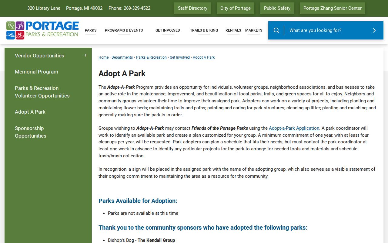
Public group evidence can add local place context to a parcel search without turning a community program into a block-by-block directory.
Portage Neighborhood Identity
The 2024 Portage Forward Together master plan describes established Portage neighborhoods and a desire for stronger neighborhood identity. Its recommendation is to work with residents and HOAs to create distinct neighborhood groups. That Portage planning language is a civic and geographic finding, not proof of formal membership boundaries. The city’s boards and commissions materials also document more than 120 volunteers and public meetings, including meetings at Portage District Library.
Current development can change map context. The city’s Lake Center District update describes a BUILD discretionary grant application, a boardwalk, Wells Street parking and trail work, 800 native trees, and a December 2026 completion target. Project status can change, so use the Lake Center District updates for current details rather than treating an older map or directory as final.
Note: Planning language and public group names help explain place identity, but they do not establish a complete neighborhood boundary or a resident list.
Portage Neighbor Voter Boundaries
Michigan Voter Information Center is an individual voter-information lookup. Official state material lists first name, last name, birth month, and birth year as its inputs. It can provide registration status and election-service information, not a browseable block list. Portage GIS can display a voter-precinct overlay, but the overlay describes territory rather than identifying voters who live there.
Michigan voter registration records are public through FOIA with limits. State summaries describe public registration-file fields that can include name, year of birth, address, jurisdiction, precinct, and related indicators, while phone numbers, driver-license or state-ID numbers, and month and day of birth are withheld. The Portage City Clerk and Kalamazoo County Elections office are documented contacts when a Portage election-record question needs the proper custodian. A Portage voter record confirms an election record, not current presence at a property.
Compare Portage Neighbor Records
Official records identify their custodian, record type, and access limits. A commercial neighbor tool may collect data from many sources, but its compilation is not a substitute for the parcel map, property roll, county filing, or city clerk. For a property-history, civic, or reconnecting question, use the official item that matches the question and preserve the date of the result.
| Official Portage and county records | Commercial neighbor tools |
|---|---|
| Show the public custodian, record category, and available access channel. | May combine sources with different dates, scope, and correction processes. |
| Allow a parcel, filing, or map result to be checked with the office that holds it. | Cannot replace city, county, or state verification of a public record. |
| Make the owner-versus-occupant distinction visible when the record only concerns ownership. | Can blur historical, mailing, and current information into one apparent profile. |
The safest Portage neighbors conclusion is narrow: record the source, map date, parcel or filing reference, and what the record actually says.
Portage Neighbor Privacy Limits
Portage public records leave important gaps. A Portage parcel owner is not necessarily an occupant. Utility customer information is not a public block directory, and protected court or vital records are not ordinary map results. The Michigan Address Confidentiality Program provides qualifying people with a substitute address, mail forwarding, and protected government-address use. It can explain why a normal Portage voter, address, or record search does not reveal a physical location. Do not attempt to reverse a substitute address.
Lawful use. Use Portage neighbor records for personal, civic, family-history, property-history, or safety awareness questions. Do not publish bulk addresses or use a search to watch, stalk, harass, intimidate, or harm another person.
Michigan Address Confidentiality Program information is the official route for understanding the program’s substitute-address protections. For corrections in city-held records, contact the Portage City Clerk; county and state records have their own custodians.